FISHBUOY Pro Fishing App for North Americal Anglers

SPOTTED SEATROUT

How to identify a Spotted Seatrout

There are round black spots on the back and upper flanks and on the tail and second dorsal fin. Spotted Seatrout have a pair of large canine teeth at the tip of the upper jaw with no barbels on the lower jaw.

Where to catch Spotted Seatrout

The spotted seatrout occurs in the western Atlantic Ocean from New York to the Gulf of Mexico, from Virginia southward, particularly off the coasts of North Carolina and Texas. An inshore, schooling species, it usually inhabits the shallow areas of bays and estuaries. They range as far north as Long Island in late spring.As water temperatures decline during fall, fish move into deeper bay waters and the Gulf of Mexico. As water temperatures warm in the spring the fish move back into the shallows of the primary and secondary bays. During periods of low rainfall and runoff, many trout often move into deeper rivers and bayous with the first cool weather of fall. Similar concentrations occur at dredged boat harbors and channels.

IDENTIFICATION
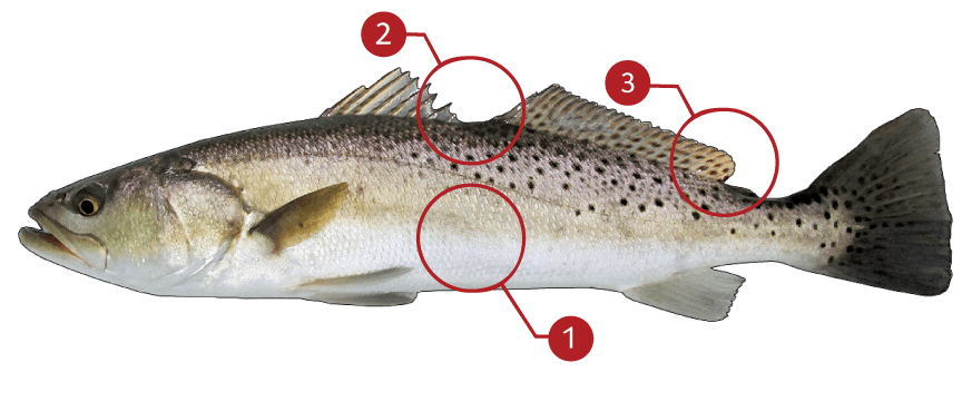
How to Identify a Spotted Seatrout
 1 The body has a golden hue and its shape and coloration is reminiscent of a brown trout

 2 An elongated, soft dorsal fin separated from the spinous dorsal fin by a deep notch

 3 Round black spots on the back and upper flanks and on the tail and second dorsal fin

TARGET AREAS

  • Backflow
  • Bays and Estuaries
  • Current Edges
  • Eddies
  • Merging Currents
  • Rock and Boulder Pockets
  • Schools
  • Standing Waves


  • Bays
  • Channel Entrances
  • Drop-Offs
  • Man-Made Structures
  • Ripples, Currents, Swirls and Sprays
  • Saltwater and Tides
  • Small Pointed Waves
  • Saltwater Weed Beds

Acknowledgements:  We thank TAKEMEFISHING.org (www.takemefishing.org), Wisconsin Department of Natural Resources, Indiana Department of Natural Resources for their contributions to these FISH FACTS.

  • WEATHER

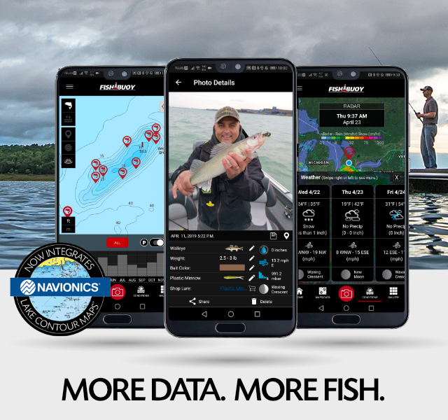
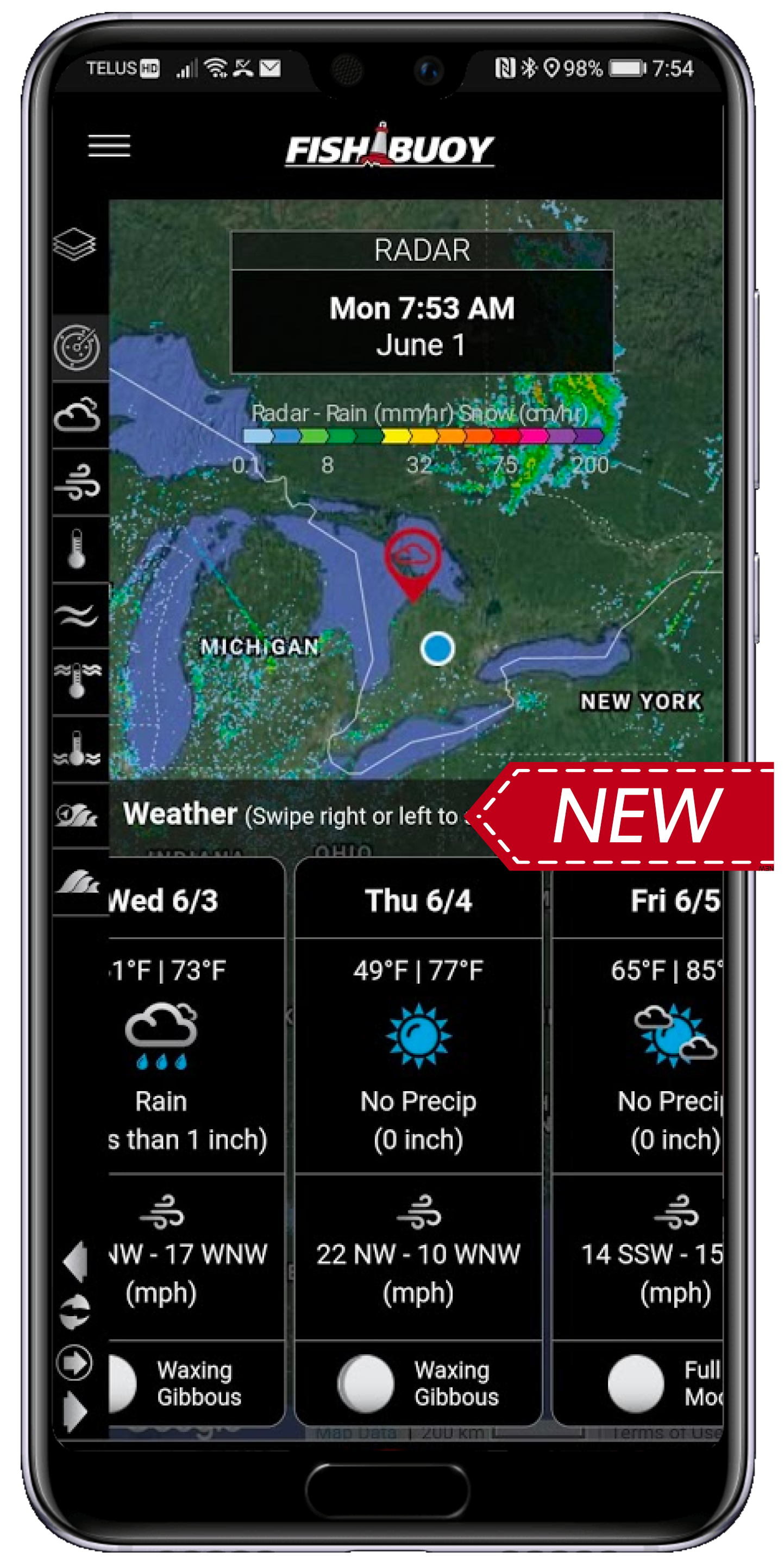
    ALL NEW chart provides you with the ability to check out weather, wind and moon phase conditions.

Real-Time Weather Data for Anglers
  • LAKE MAPS

    Plan for places to fish with detailed lake contour maps by Navionics (Uses your existing Navionics app login)

Real-Time Weather Data for Anglers 8
  • MARINE

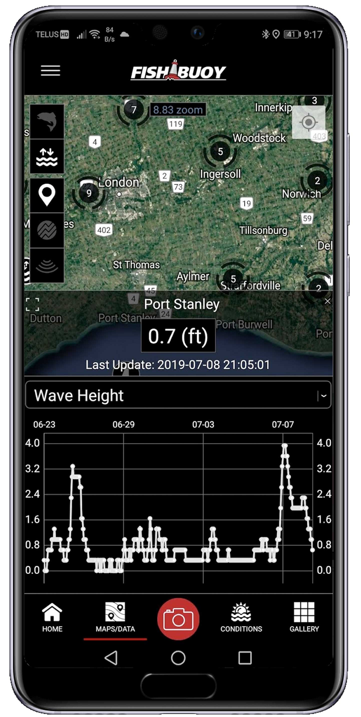
    Before you head out on the water, make sure to check out real-time NOAA marine buoy data.

Real-Time Marine Buoy Data
  • GAUGE DATA

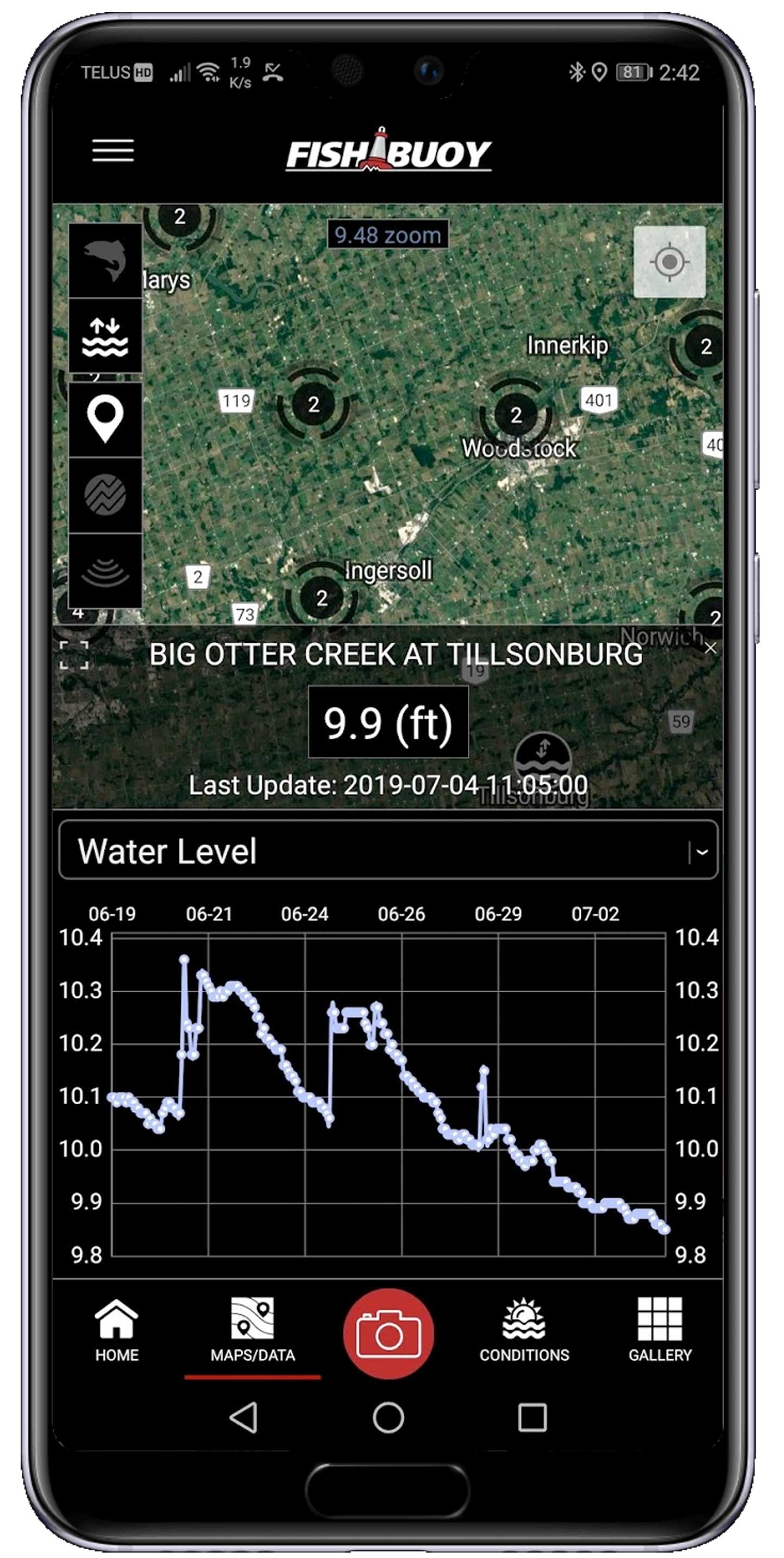
    Watch river and reservoir water levels, flow rates, temps and even turbidity across North America.

Real-Time Water Gauge Data
  • LOGGING

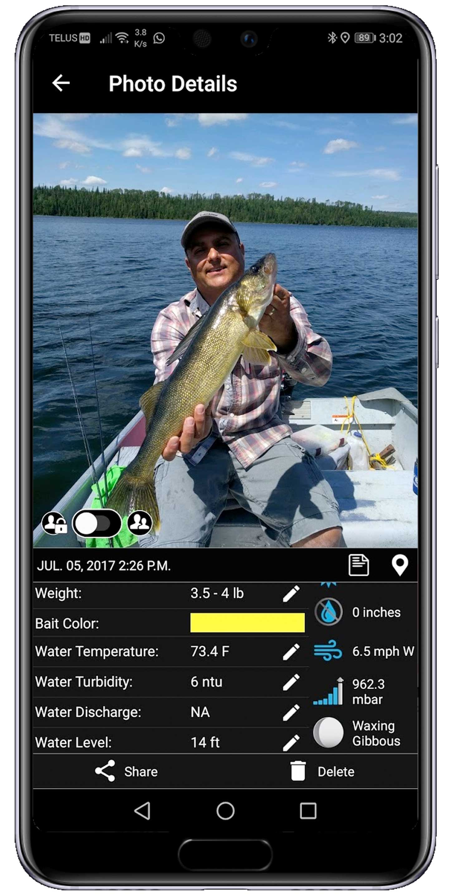
    Automatically log your catch details every time you take a photo.

Fish Catch Digital Logs
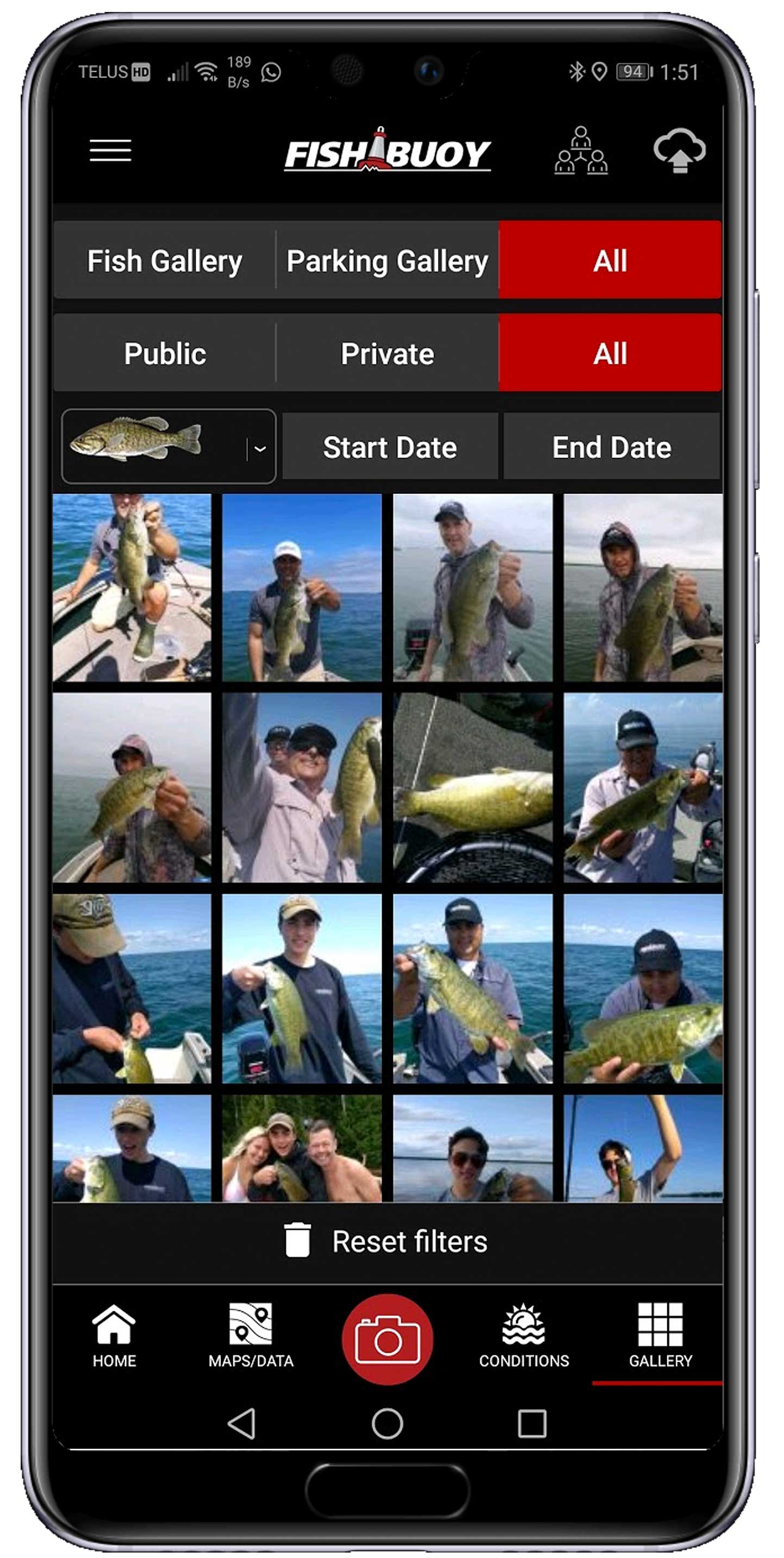
  • GALLERY

    Conveniently search your fish photos using species and date range filters.

Manage and control your fishing history in one place!
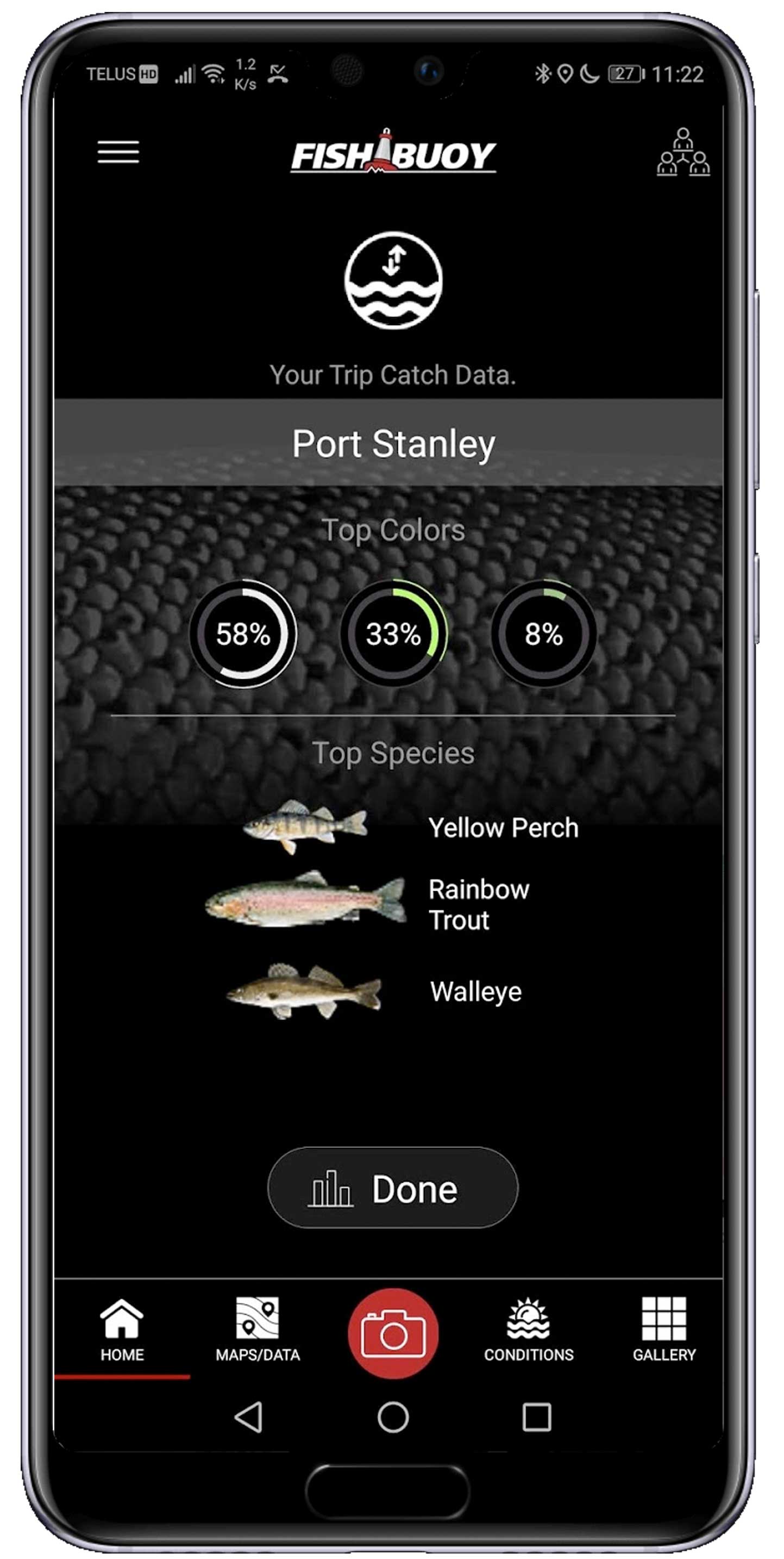
  • TRIP STATS

    View your top three fish species, lures and bait colors at the end of your trip.

Post-Trip Personal Fishing Stats
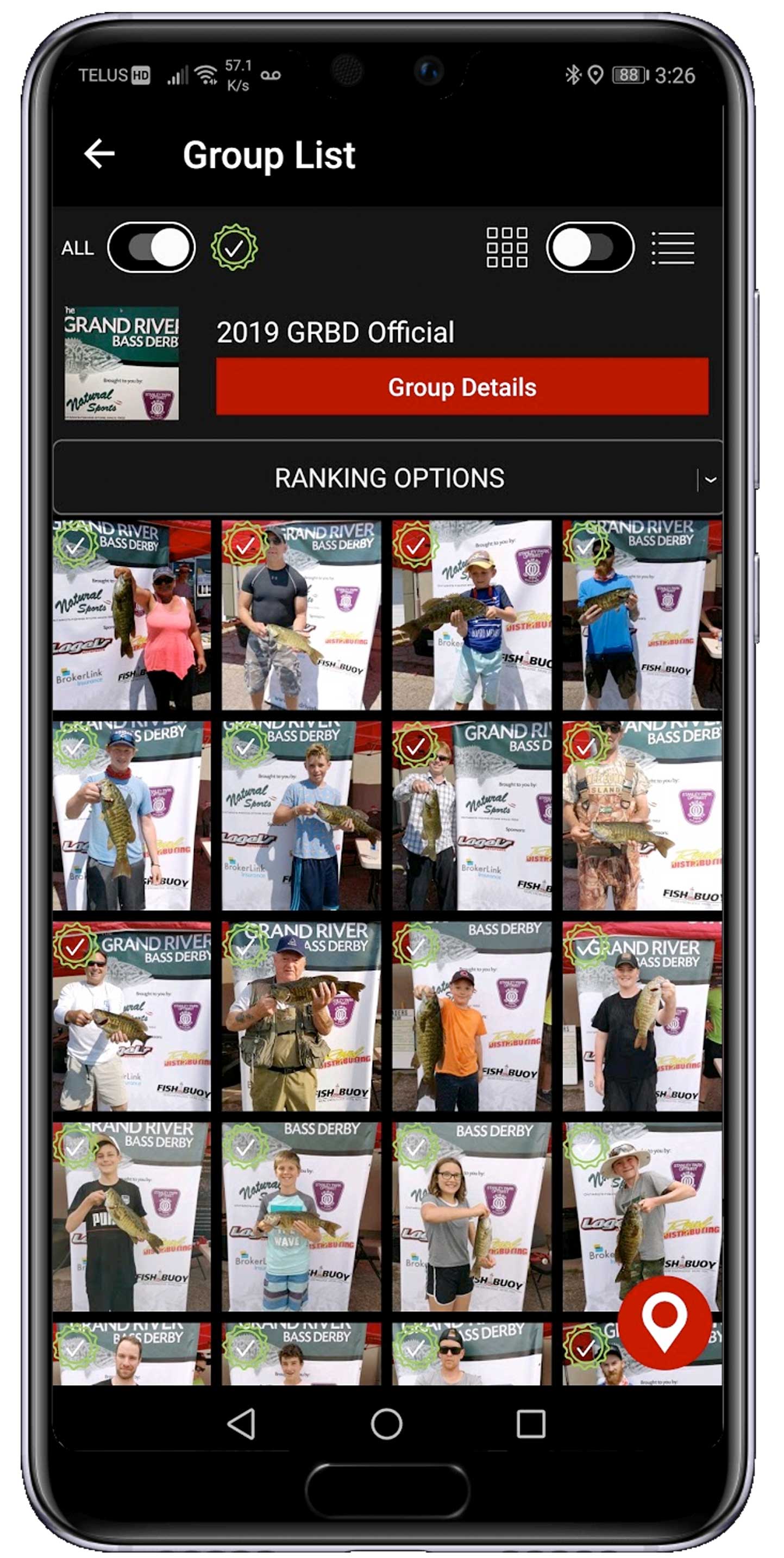
  • DERBIES

    Create private events, invite competitors to join, share live feeds of your fishing derbies!

Fishing Derbies and Event Management
  • LOGGING

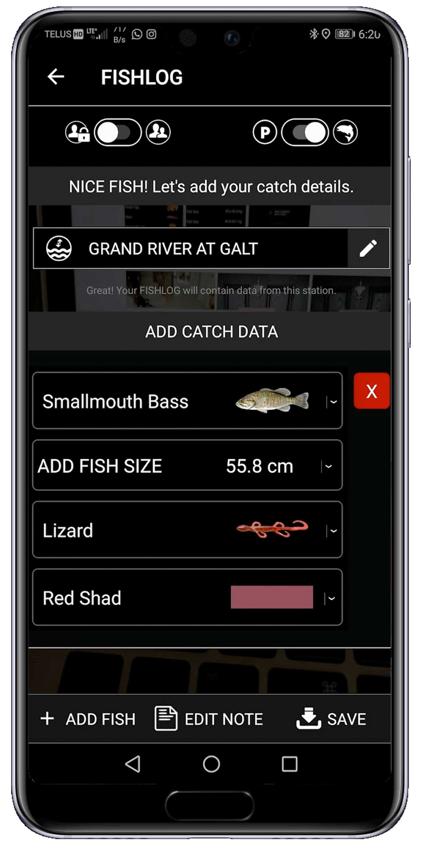
    Quickly add fish details to your photo - select from fish species, size, lure and primary lure color.

Fish Data Entry
  • WEIGHT

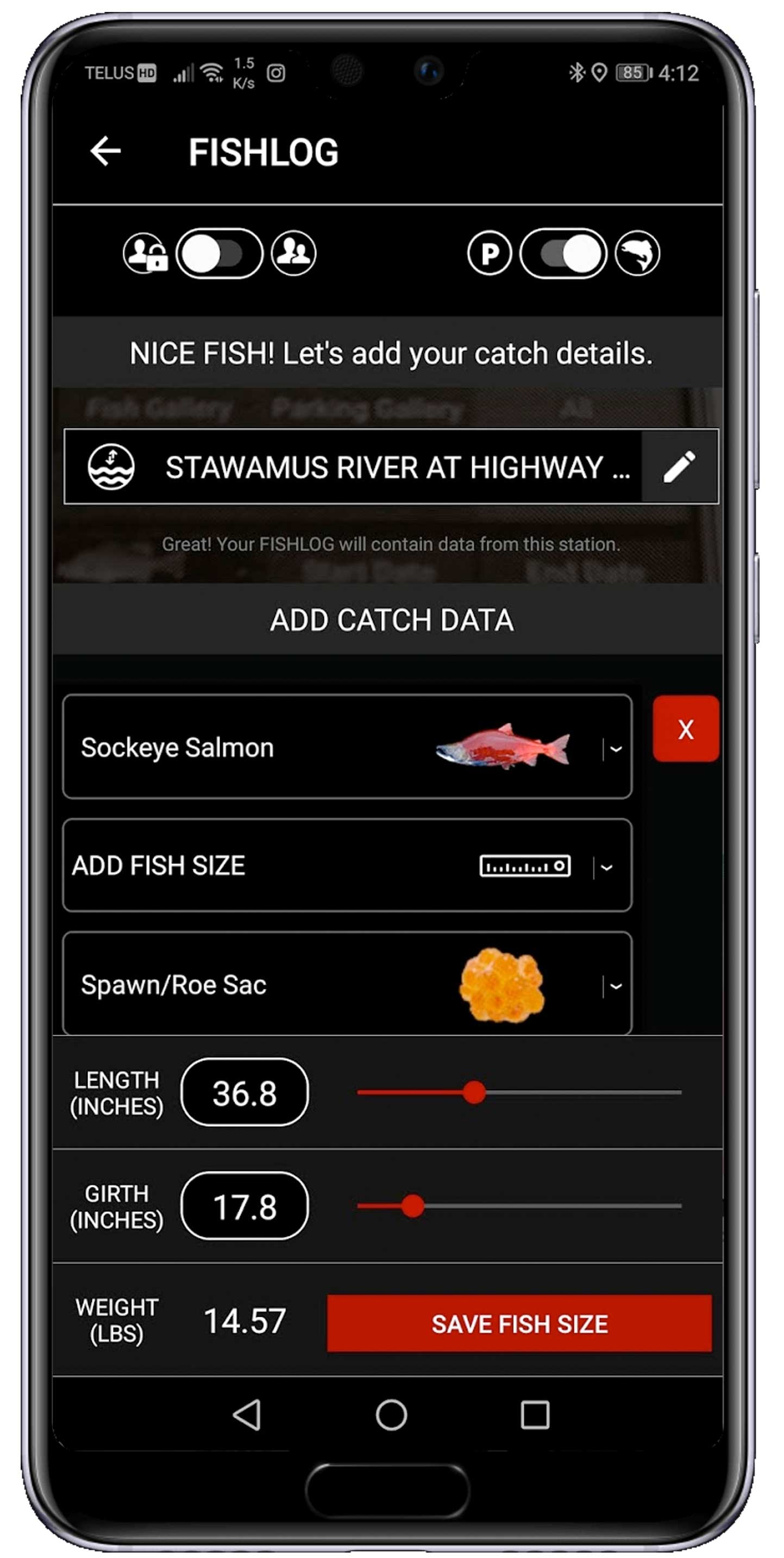
    Automatically estimate fish weight.  Simply measure the fishes length and girth to see the resulting weight.

Fish Weight Estimator
  • FISH ID

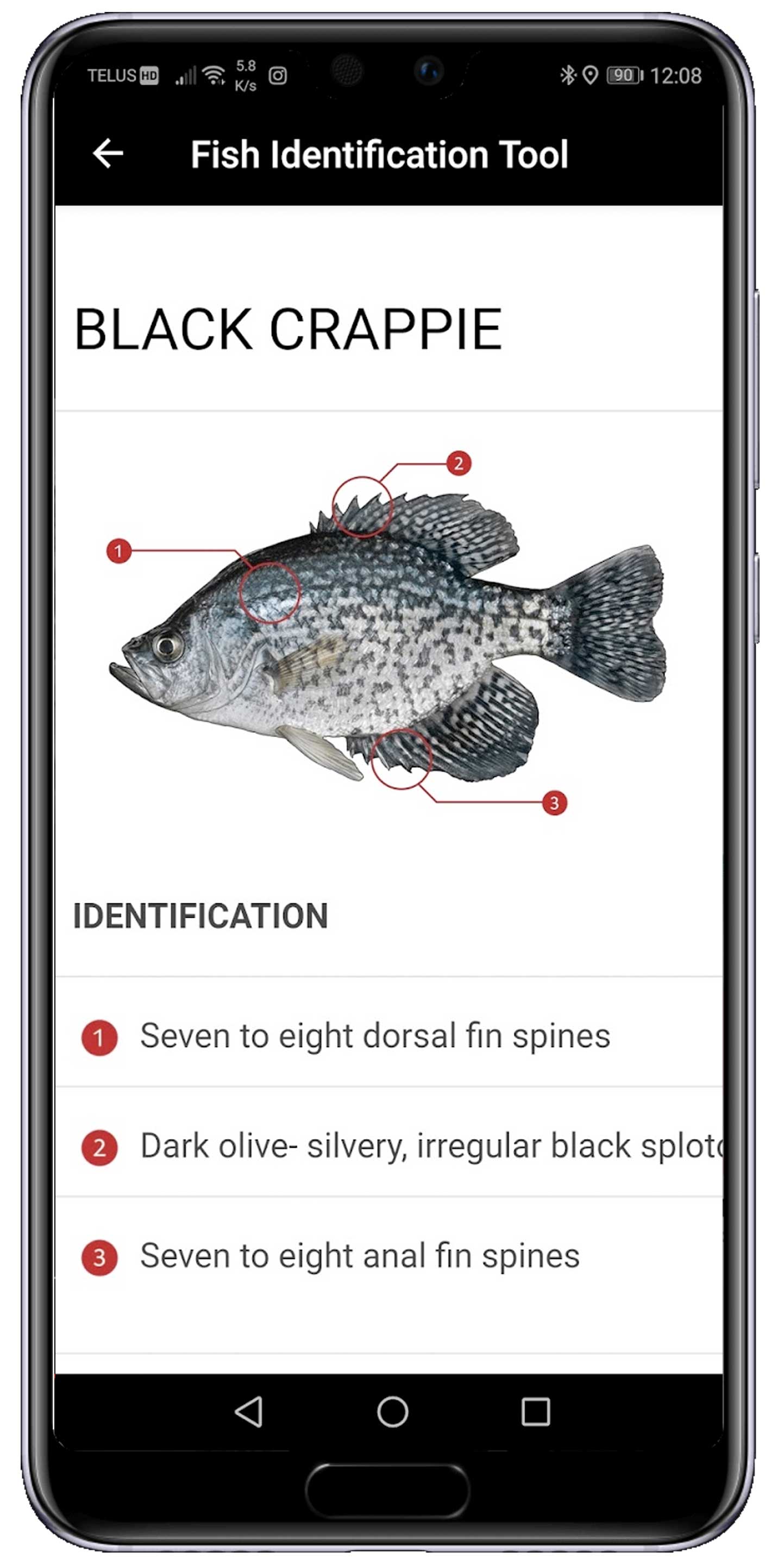
    The Fish Identification Tool was designed to help anglers correctly identify freshwater and saltwater sports fish.

Fish Identification Tool
  • LURE COLOR

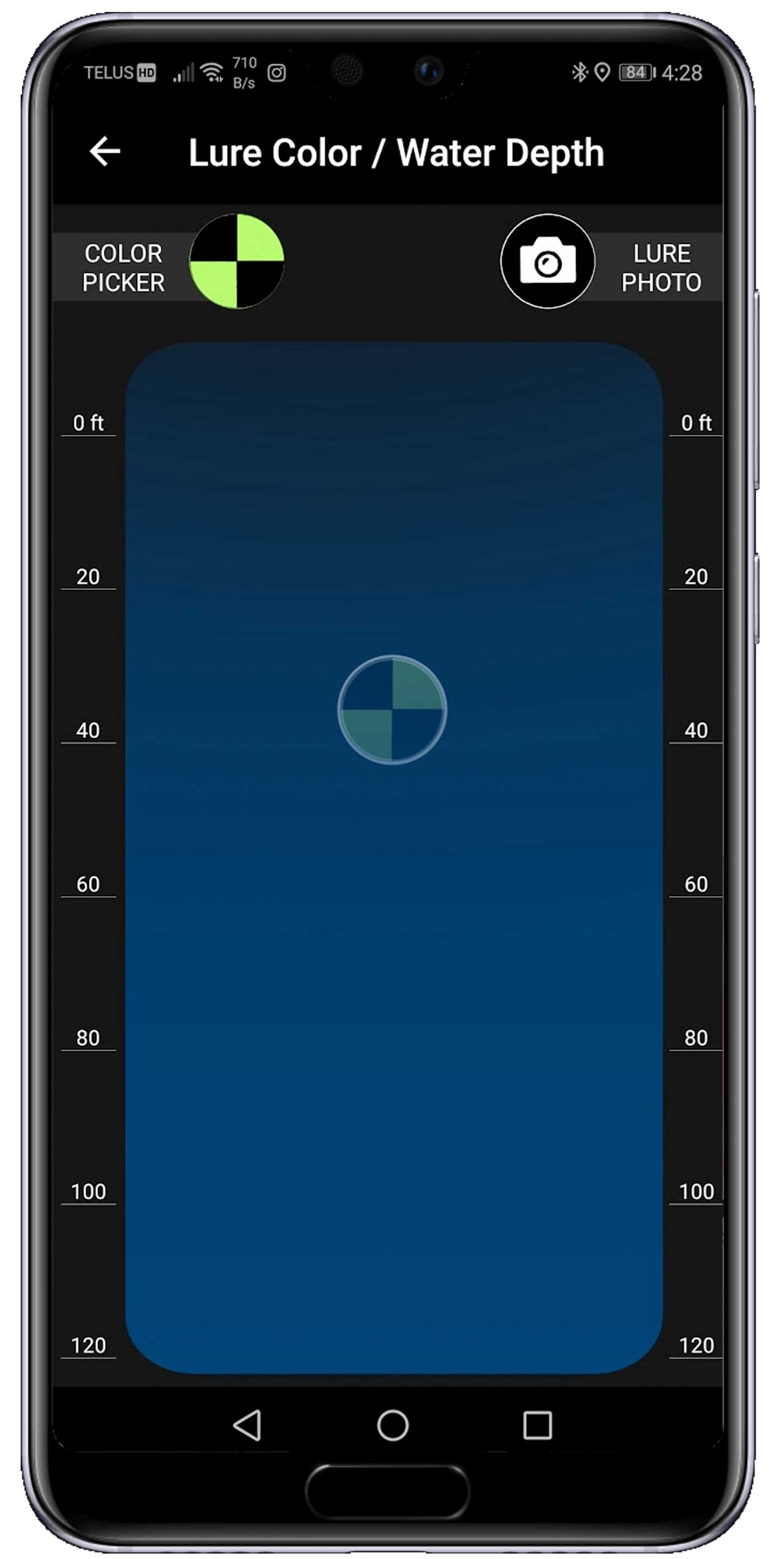
    The Lure Color/Depth Tool was designed to help anglers pick the best lure color based on depth.

Lure Color Depth Tool

More than just a photo.

Anglers now have the ability to automatically log fish catches with a single photo.  Why wouldn't you?

Download FISHBUOY from Google Play
Download FISHBUOY from App Store

QUESTIONS? Feel free to drop us a line - click here. One of our representatives will get back to you as soon as possible.

Fishing products we proudly use on the water.